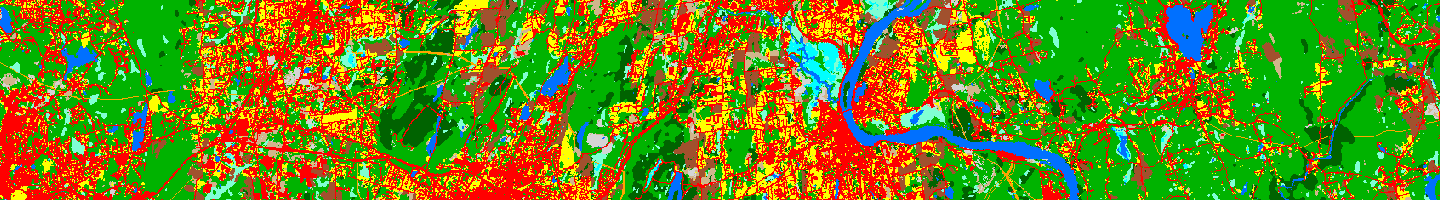
Changing Landscape is a remote sensing-based land cover study that charts landscape changes in Connecticut and portions of New York. It covers the 30-year period from 1985 to 20150 (with in-between dates of 1990, 1995, 2002, 2006 and 2010). It includes information on basic land cover, as well as subsidiary analyses of riparian corridor land cover, impervious cover and agricultural field and soil analysis.