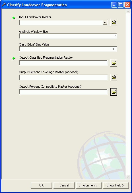
The Landscape Fragmentation Tool (LFT), jointly developed through a partnership between CLEAR and Placeways LLC, provides a method to quantify landscape fragmentation. The tool is designed to be used in ESRI's ArcGIS 9.2 geographic information system (GIS) software and allows users to analyze fragmentation using their own raster land cover information.

James D. Hurd
Mr. Hurd is Director of the Laboratory for Earth Resources Information Systems at the University of Connecticut, and will be involved directly in remote sensing data acquisition and analysis. Mr. Hurd has many years of experience in remote sensing data analysis and geospatial data processing and was the principle researcher for the creation of previous Connecticut statewide land cover images in 1990, 1995, and the recently completed four date (1985, 1990, 1995, 2002) land cover change maps.