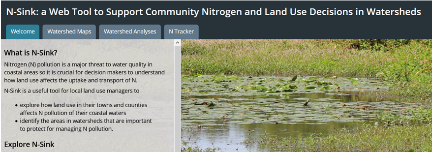
The N-Sink tool was created to be a useful, easy way for local land use managers to explore the relationship between land use and nitrogen pollution in their waters. N-Sink uses the best available science on land use/nitrogen interactions, plus widely available basic datasets for waterway networks, soils and land use, to highlight major sources and sinks of nitrogen within a watershed context.
Our interactive app featuring all 76 coastal CT & RI watersheds:
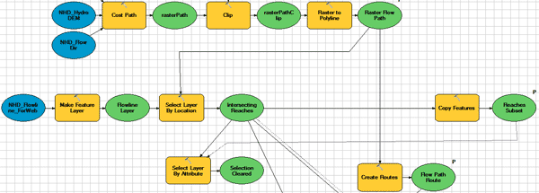
For programmers who want to run N-Sink on their own:
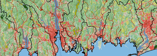
N-Sink is designed as an interactive web tool, but here is a quick look at examples of the three maps created by the N-Sink analysis. Included here are the Farm River in south-central Connecticut, the Niantic River in southeast Connecticut, and the Palmer River straddling the line between Rhode Island and Massachusetts.
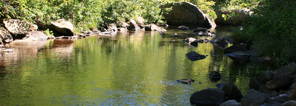
Nitrogen pollution is emerging as a major threat to coastal watersheds, estuaries and embayments, and the communities within their watersheds. Find some key references here.

The mission of the Coastal Institute is to advance knowledge and develop solutions to environmental problems in coastal ecosystems.

CLEAR provides information, education and assistance to Connecticut's land use decision makers, community organizations and citizens on how to better protect natural resources while accommodating economic growth.

EPA is forging a path forward to develop sustainable solutions to the nation's highest priority science needs.