College of Agriculture and Natural Resources
Center for Land Use Education and Research

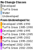
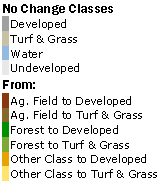
Select your town by clicking on the map or with the pull-down menu. Then press Go. This page contains static maps and area statistics (scroll down) for all five dates of land cover and for all 169 municipalities in Connecticut. The 1985 and 2006 land cover maps, as well as both change maps, have pdfs for viewing, saving and printing. |
|
| 1985 | 1990 | 1995 | 2002 | 2006 | Change | |||||||
| acres | % of town | acres | % of town | acres | % of town | acres | % of town | acres | % of town | acres | % change | |
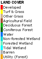
| Developed | ||||||||||||
| Turf & Grass | ||||||||||||
| Other Grasses | ||||||||||||
| Agricultural Field | ||||||||||||
| Deciduous Forest | ||||||||||||
| Coniferous Forest | ||||||||||||
| Water | ||||||||||||
| Non-forested Wetland | ||||||||||||
| Forested Wetland | ||||||||||||
| Tidal Wetland | ||||||||||||
| Barren | ||||||||||||
| Utility (Forest) | ||||||||||||