 Impervious Cover
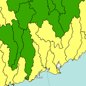
Impervious surfaces are the many elements of the “built landscape” like roads, driveways, roofs, and parking lots. These hard, impenetrable materials disrupt the natural water cycle, greatly increasing surface runoff at the expense of infiltration of rainfall into the soil. Impervious cover, the sum of these surfaces, is now widely considered a key environmental indicator: the amount of impervious cover in a watershed has been found in many studies to be closely correlated with the health of the watershed’s “receiving” waterbody. Our impervious cover maps show the results of using our land cover data to run the Impervious Surface Analysis Tool (ISAT) to estimate impervious cover levels in the small watersheds making up the study area. ISAT was jointly developed by CLEAR and the NOAA Coastal Services Center in 2002. It is important to note that although our “developed” land cover class and impervious cover are closely related, they are not identical.
Visit the ISAT Coefficient Generation Procedure document that outlines the methods used to create the coefficients that are critical to the ISAT model.
Visit the Impervious Cover TMDL website library for key research papers on impervious cover and watershed health.
Visit NOAA Coastal Services Center Digital Coast website for more information on the Impervious Surface Analysis Tool (ISAT).