Vermont
Vermont’s Center for Geographic Information (VCGI) is a pioneer among state GIS agencies. VCGI was established by state statute in 1994. The agency has evolved but its purpose is timeless -
To promote the efficient development and use of geographic information by agencies of the State, its political subdivisions, and Vermont businesses and citizens.
VCGI is a publisher of data and maps, sharing and storing over 1,000 datasets. Most state agencies develop and maintain their own data and give it to VCGI to publish. Agencies have learned how to make their data management efforts efficient and consistent by adhering to the standards, guidelines and procedures developed by VCGI.
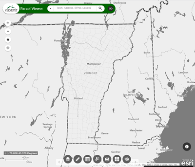
VCGI coordinates data acquisition efforts like purchasing aerial imagery & Lidar on a rotating schedule. VCGI assists with developing a unified, standardized parcel layer. They partner with the University of Vermont to develop & maintain a high-resolution landcover dataset.
VCGI has 8 staff members plus additional support from the University of Vermont with an annual budget of $800,000.
Things to Emulate
- Legislative support from the governor’s office was a key factor in getting VCGI developed and funded.
- As a publisher of data, VCGI partners with agencies who maintain and own their own data.
- A regular, predictable data acquisition & update schedule.
